Arctic Storm Forecast for Bozeman Area
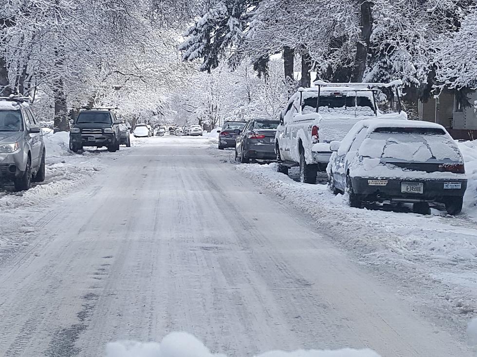
Snow and arctic-like temperatures are expected for the Bozeman area starting Wednesday. The storm moves in today with a mix of rain and snow. Snow is expected to become steadier as the day progresses. Temperatures are expected to drop into the single digits Thursday morning. With this storm they are calling for:
- 1 to 3 inches of snow for Bozeman
- More than 6 inches expected in the mountains
- Temperatures below freezing
- Patchy blowing snow
- Slippery road conditions
- Low visibility
- Difficult travel especially for mountain passes
Snow and even colder temperatures are expected for the weekend. Another storm is forecast to move in Friday afternoon and move out by Sunday. With this storm they are predicting:
- 3 to 5 inches of snow
- Temperatures below zero Saturday night & Sunday night
The National Weather Service has issued a Winter Weather Advisory beginning on Wednesday at noon through 10 a.m. Thursday for Gallatin, Broadwater, Jefferson, Madison, and Central and Southern Lewis and Clark Counties. As part of the advisory they also stated the following:
What: Snow expected. Total snow accumulations of 1 to 3 inches,
and up to 6 inches in the mountains.
Where: Gallatin, Jefferson, Broadwater, Central, and Southern
Lewis and Clark and Madison.
When: From noon today to 10 AM MDT Thursday.
Impacts: Plan on slippery road conditions. Patchy blowing snow
could reduce visibility.
Additional Details: Snow develops from north to south late this
morning into the afternoon, with periods of snow expected
through Thursday morning.
SWEET: Here are the most popular Halloween candies
More From 100.7 KXLB


