Finally Above Zero; More Snow Expected for Bozeman Area
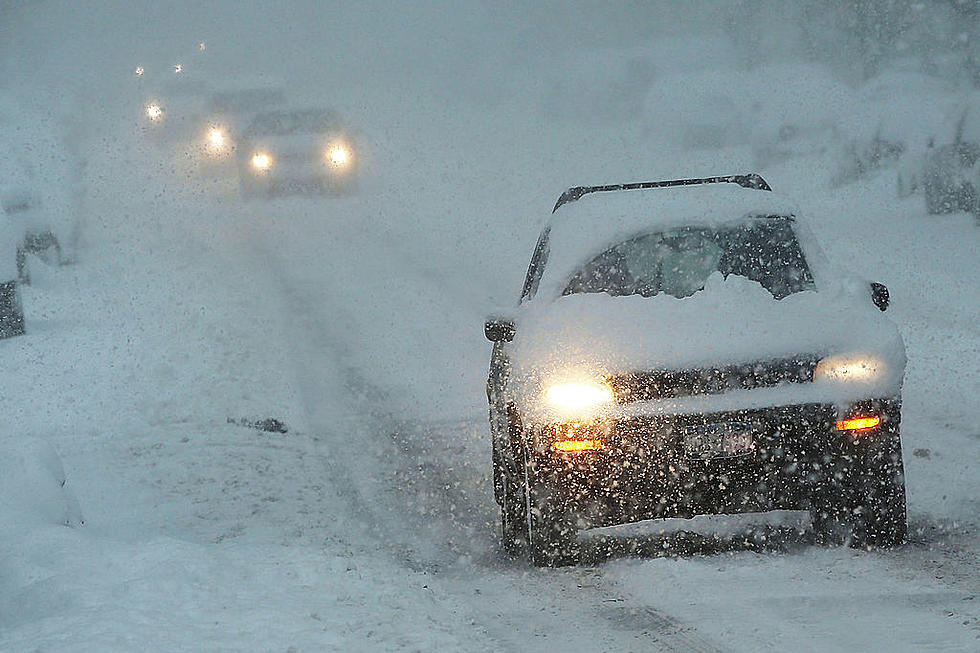
Snow is expected throughout the day on Monday in the Bozeman area. More snow is predicted to fall Tuesday and Wednesday. This snowfall comes on the heels of 96 consecutive hours of below zero temperatures last week, according to KBZK-TV. Thankfully, we are expected to warm up and have highs in the mid-20s and lows in the teens.
Over the course of the next few days we can expect:
- 2 to 6 inches for the Bozeman area
- Up to 20 inches for the upper elevations
- Reduced road conditions
- Highs in the mid-20s
- Slippery roads
- Patchy blowing snow
- Low visibility
- Difficult travel especially for mountain passes
The National Weather Service has already issued a Winter Weather Advisory for Monday and those above 6,000 feet until 5 a.m. Tuesday. With this storm, they are calling for less than 1 inch for the Bozeman area, 1 to 4 inches at the pass level, and up to 6 inches expected for upper elevations.
These storms will be good for the snowpack in the local mountains which was below normal, according to the United States Department of Agriculture. Currently, Gallatin County is 94% to the normal yearly average. Last year in February, the Bozeman area received a record 29.7 inches of snow.
The increased snowpack will aid the local ski conditions at Big Sky Ski Resort and Bridger Bowl. If you are planning on hitting the slopes be sure to check the latest conditions here.
Fun Winter Activities

More From 100.7 KXLB