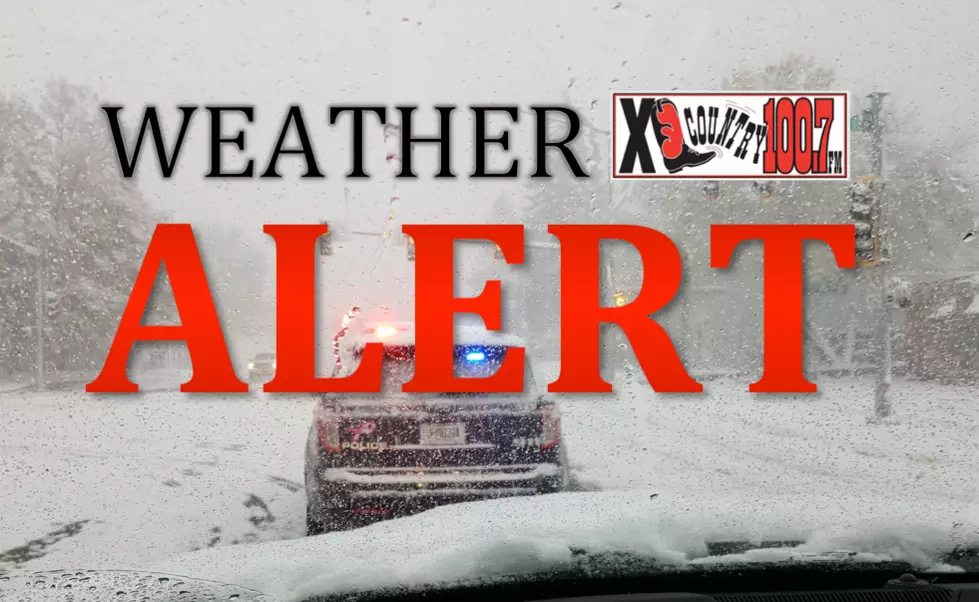
Post Christmas Storm Expected to Bring Snow to Bozeman Area
The National Weather Service has issued a Winter Weather Advisory for the Bozeman area from 5 a.m. Saturday to 11 a.m. Sunday morning. Up to 2 inches of snow is predicted for the Gallatin Valley with up to 5 inches in the local mountains.
Winds are also expected to accompany this storm with gusts up to 35 mph.
If traveling expect slippery road conditions.
The snow here in the Gallatin Valley is expected to begin around 5 p.m. on Saturday and last until about midnight.
...WINTER WEATHER ADVISORY REMAINS IN EFFECT FROM 5 AM SATURDAY
TO 11 AM MST SUNDAY...
* WHAT...Snow expected. Total snow accumulations of up to 5
inches. Winds gusting as high as 35 mph.
* WHERE...Meagher, Gallatin, Cascade, Judith Basin and Northern
Rocky Mountain Front.
* WHEN...From 5 AM Saturday to 11 AM MST Sunday.
* IMPACTS...Plan on slippery road conditions.
The extended forecast for the last week of 2020:
Sunday: Partly Cloudy. High 33/10 Low
Monday: Sunny. High 30/8 Low
Tuesday: Partly Cloudy. High 27/11 Low
Wednesday: Partly Cloudy. High 30/17 Low
New Year's Eve: Chance of snow in P.M. High 34/21 Low
New Year's Day: Partly Cloudy. High 35/20 Low
We had a light fall when it came to snow here in the Bozeman area. But expect more snow as we move into January and February, which are traditionally the two snowiest and coldest months of the year.
According to KBZK, February of 2020 was the snowiest February on record. 29.7" of snow fell at MSU, which surpassed the previous record (29.2") set only the year before in 2019.
KEEP READING: 3-ingredient recipes you can make right now
More From 100.7 KXLB


