More Snow Expected in Bozeman Today
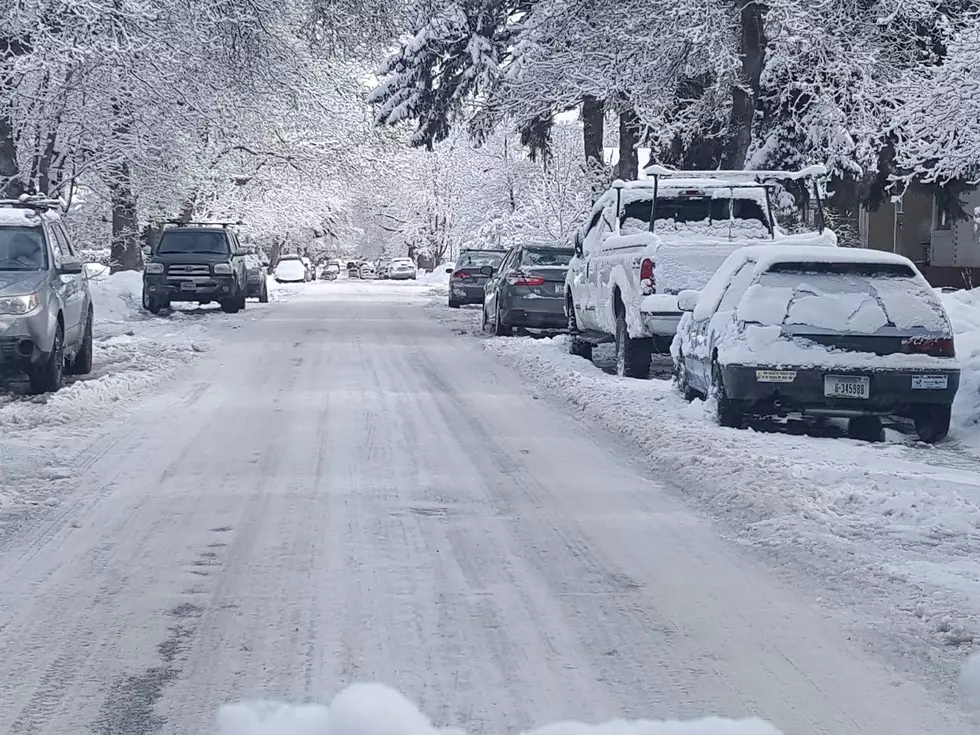
Snow is falling in the Bozeman area and the National Weather Service has issued a Winter Weather Advisory. The storm is expected to drop an additional inch in the valley and up to three inches in the mountains. The advisory is in effect until 8 p.m. Thursday evening. With this storm they are calling for:
- Additional 1 inch of snow for the Bozeman area
- Up to 3 more inches expected for upper elevations
- Wet & slushy road conditions
- Blowing snow
- Slippery roads
- Low visibility
- Difficult travel especially for mountain passes
The Winter Weather Advisory is in effect for Cascade, Judith Basin, Fergus, Meagher, and Gallatin Counties. Elevations above 4,000 feet will be mainly affected by the storm including Bozeman, the Bozeman Pass, Stanford, Lewistown, Kings Hill, and Neihart.
After this storm moves out we can expect to return to fairly mild winter weather. We can expect to see a mix of sun and clouds return Friday and through our weekend.

As part of the advisory they also stated the following:
What: Snow occurring. Additional snow accumulations of up to 3 inches. Rain and snow occurring at elevations below 4000 feet where accumulation of less than an inch is expected.
Where: Cascade, Judith Basin, Fergus, Meagher, and Gallatin counties. This advisory is mainly for elevations above 4000 feet, including Stanford, Lewistown, Bozeman, Bozeman Pass, Kings Hill and Neihart.
When: Until 8 PM MST this evening.
Impacts: Plan on slippery road conditions.
Additional Details: Wet or slushy roadways are expected through today at lower elevations with some roads becoming snow-covered and icy across higher elevation areas. Visibility will also be reduced to less than one mile at times in snow. Watch for all
road surfaces becoming icy this evening as temperatures drop below freezing.
KEEP READING: Get answers to 51 of the most frequently asked weather questions...
More From 100.7 KXLB


