More Snow Expected for Bozeman Area on Saturday
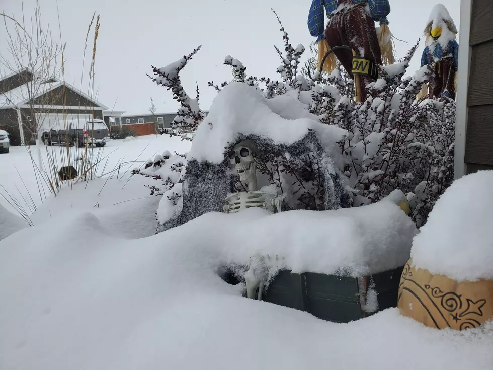
Most of the XL Nation woke up to beer can deep snow this morning in Belgrade and Bozeman. And more snow is expected to fall throughout the day, especially this afternoon. Chains are required on many mountain passes, and we have a Winter Weather Advisory in effect until 9 p.m. Saturday evening.
This storm is predicted to move out of southwest Montana this evening, and we'll be back to partly cloudy skies on Sunday. Temperatures will remain in the teens for the Gallatin Valley for most of Saturday but look frigid temps overnight, and Sunday morning we're looking at temperatures below zero.
Weekend Forecast From the National Weather Service
Winter Weather Advisory Remains in Effect Until 9 p.m. Saturday Night.
- Up to 8 inches of more snow possible in the Gallatin Valley. 10-15 inches of snow in the local mountains.
- Winds around 10mph in the Gallatin Valley.
- If traveling: Areas of blowing snow with significantly reduce visibility. In some areas, wind chills could be down to -25 below zero in some areas.
- Partly cloudy on Sunday with temps mainly in the single-digits.
For the latest road conditions you and call 511.
Snow Totals Reported This morning:
Belgrade: 6 inches
Bozeman: 9 inches
Livingston: 10 inches
Butte: 6 inches
Whitehall: 2 inches
Dillion: 1 inch
Missoula: 12 inches
Extended Forecast:
Expect to see partly cloudy skies for this coming week with warming temperatures. In fact, we're supposed to have highs near 50 by Thursday.
Here's some good news for Halloween trick or treaters. Next Saturday for Halloween, the National Weather Service is calling for mostly sunny skies during the day and clear skies in the evening. Highs on Halloween will be near 50 degrees.
More From 100.7 KXLB