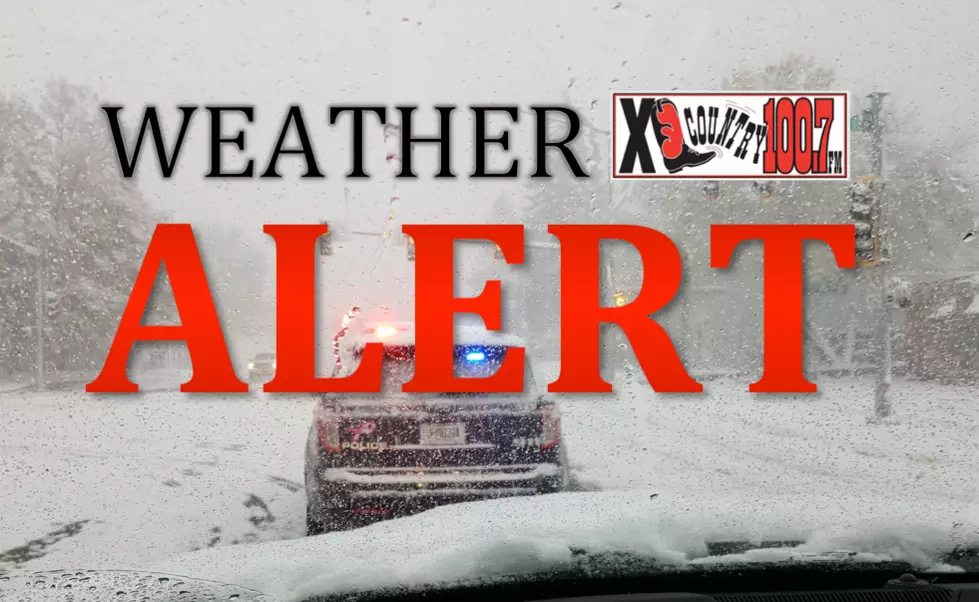
Next Snow System Moving in Tuesday Night
Snow is expected Tuesday evening in the Bozeman area and the National Weather Service has issued a Winter Weather Advisory. The storm is expected to drop three to five inches in the valleys and up to seven inches in the mountains. The advisory is in effect until 11 p.m. Wednesday. With this storm they are calling for:
- 3 to 5 inches for the Bozeman area
- Up to 7 inches expected for upper elevations
- Winds gusting up to 35 mph
- Reduced road conditions
- Slippery roads
- Blowing snow
- Low visibility
- Difficult travel especially for mountain passes
The Winter Weather Advisory is in effect for Madison and Gallatin Counties. Local passes including Raynolds Pass, Bozeman Pass, and Targhee Pass are expected to see poor travel conditions. The snow is forecast for most of the week with several inches expected Wednesday, Thursday, Friday, and into the weekend.
These storms will be good for the snowpack in the local mountains which is below normal, according to the United States Department of Agriculture. Currently, Gallatin County is 79% to the normal yearly average. Last year in February, the Bozeman area received a record 29.7 inches of snow.
The increased snowpack will aid the local ski conditions at Big Sky Ski Resort and Bridger Bowl. If you are planning on hitting the slopes be sure to check the latest conditions here.

TIPS: Here's how you can prepare for power outages
More From 100.7 KXLB


