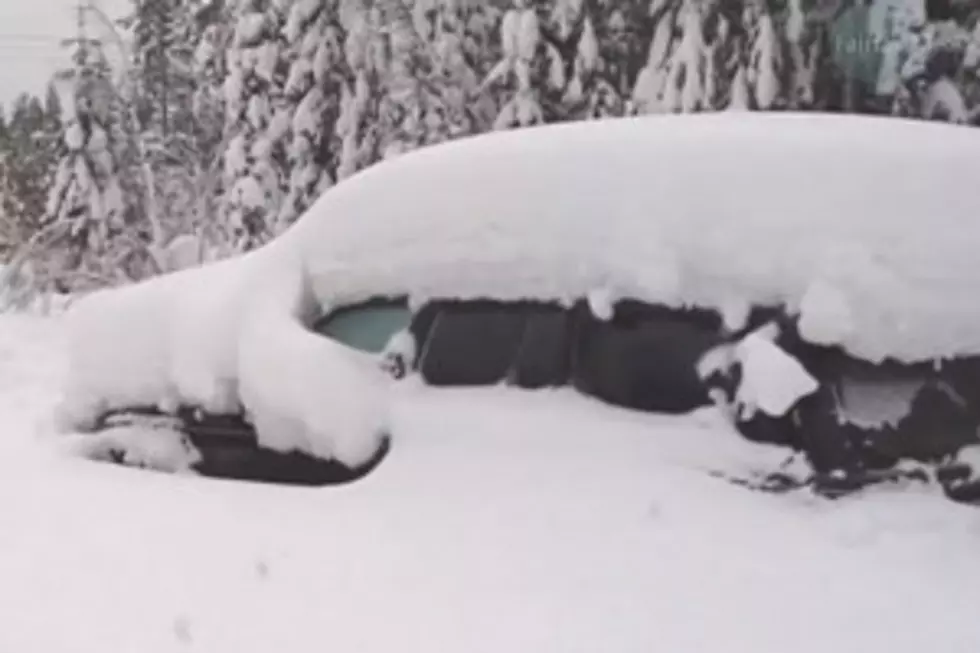
Winter Weather Advisory
There is a wnter weather advisory for elevations above 6000 feet for snow and blowing snow. It is in effect until 11 PM MST this evening.
Areas of snow will continue into this afternoon. Snow will diminish early this evening and mostly end or become very light by late evening. The main impacts will be reduced visibilities from snow and blowing snow... along with snow covered passes.
* Snow accumulations: 5 to 10 inches of snowfall is expected with locally higher amounts possible.
* Winds: local southwest wind gusts 50 to 60 mph will occur this morning. For this afternoon expect southwest winds 20 to 30 mph with gusts to 40 mph. Gusts to 60 mph will be possible. Winds will diminish this evening.
* Visibility: visibility will be reduced to less than one half mile in heavier snow and blowing snow.
* Elevations: for elevations above 6000 feet.
* Other impacts: the combination of snow... blowing snow... and gusty winds will make travel and outdoor activities difficult.
* Locations affected include: Targhee Pass... West Yellowstone...Big Hole Pass... Chief Joseph Pass... Monida Pass... Raynolds Pass.
Source: Weather Underground
More From 100.7 KXLB