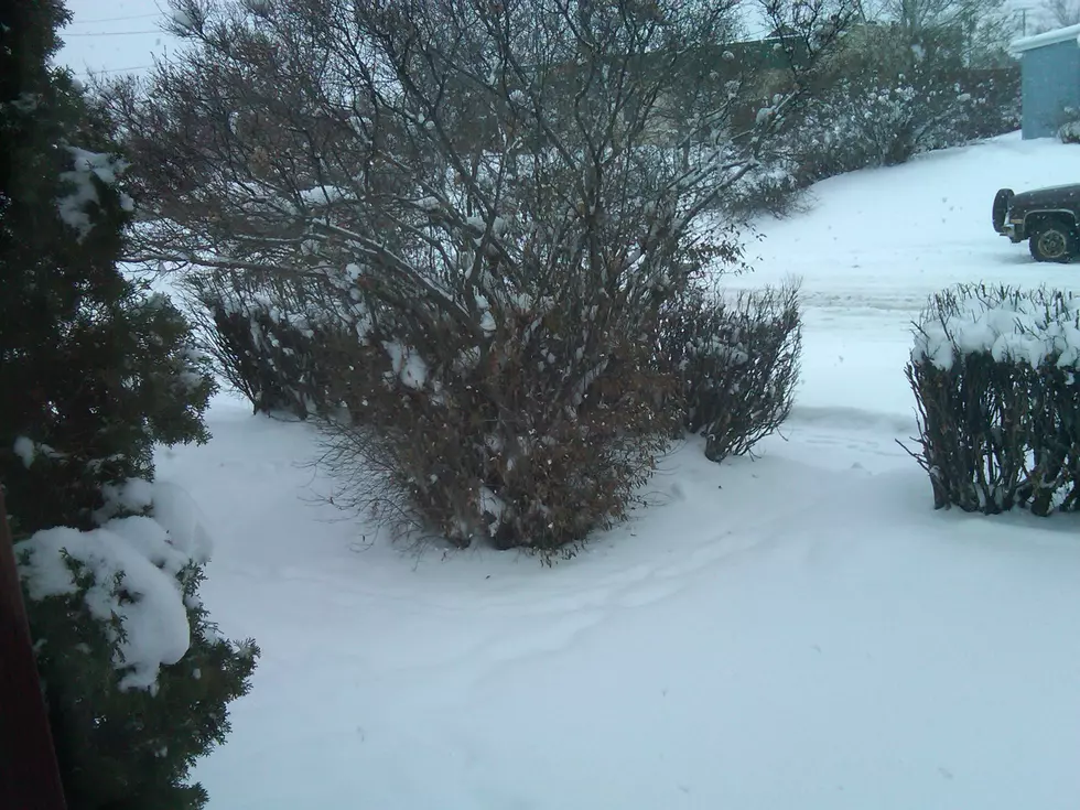
Tuesday and Wednesday will be bringing another round of much needed mountain snow to southwest Montana, with over a foot of fresh snow possible. Many other portions of Montana are also expecting many inches by Wednesday night.
10 more inches of snow could land in southwest Montana mountains by Wednesday evening. Madison and Gallatin counties are the target of this next round of snowy weather.
Lots of mountain snow is falling in Montana, which is great news. Montana is still very far behind normal average snowpack levels and drought concerns are still big. Towns and valleys can expect some snow, but high elevations across Montana are expecting 4" to 8" of fresh snow, with up to a foot in some locations.
Montana counties across the entire state are getting hammered with snow, wind and bitterly cold temperatures. Missoula, Bozeman, Helena, Great Falls, Billings and everywhere in between has it's own issues, with up to 15 inches of fresh snow falling by Thursday evening.
The Tobacco Root, Elkhorn, and Boulder Mountains are just a few ranges that could get absolutely pummeled with fresh snow by Thursday night. Other Montana mountains may only see 6" to 12" of fresh snow. This next storm is classic 'snow roulette'.
Over a foot of snow along with 60+ MPH winds are possible along the southern Montana Idaho border through Saturday morning. Dangerous driving conditions will occur with the mountain passes getting the brunt of this storm.
Very gusty winds up to 40 MPH may accompany heavy snow in the higher elevations of SW Montana. Most valley areas under the Storm Warning may see 3 - 5 inches of snow, all by Wednesday morning.
Blustery conditions for the higher elevations around Bozeman with most snow falling above 6,500 feet. Gusty winds up to 30mph at times could make visibility very poor while traveling.
High elevations around Bozeman could see a foot of snow this evening, with visibility becoming very poor at times. Above 7,000 feet, this Winter Storm Warning lasts until 11pm tonight.