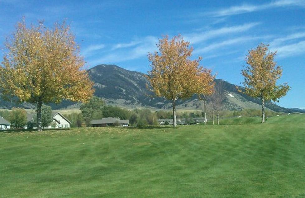
Winter Storm Watch – Nope, Not Kidding
A Winter Storm Watch has been issued late tonight through Saturday afternoon.
Above 7000 feet, you can expect up to 12" of snow.
5 to 7000 feet, you could see 3 to 6" of snow.
Below 5000 feet, look for a mix of rain and snow. 1 to 3" are possible.
Oh, and did I mention it will also be windy?
... Winter Storm Watch in effect from late tonight through
Saturday afternoon...
The National Weather Service in Great Falls has issued a Winter
Storm Watch... which is in effect from late tonight through
Saturday afternoon.
* Timing and main impact: snow will develop in the mountains along
the Rocky Mountain front and southwest Montana tonight and
possibly into the plains on Friday night and Saturday.
* Snow accumulations: for elevations above 7000 feet... up to 12
inches of snow are possible. Between 5000 and 7000 feet... 3 to 6
inches are possible. Below 5000 feet... a mix of rain and snow
with 1 to 3 inches of snow accumulation are possible.
* Winds and visibility: westerly winds of 15 to 25 mph with gusts
to 35 mph. Periods of intense snowfall may reduce visibilities
and cause rapidly accumulating snow.
* Other impacts: travel over mountain passes will become hazardous
tonight. Young livestock may also be adversely affected. Outdoor
recreationalists should be prepared for rapidly changing
conditions and winter weather.
* Locations affected include: Fairfield... Choteau... White
Sulphur Springs... Battle Ridge Pass... Bozeman... Bozeman Pass...
Targhee Pass... West Yellowstone... Stanford... Lewistown...
Lewistown Divide... Browning... Marias Pass... Conrad... Big
Sandy... Fort Benton... Boulder... Boulder Hill... Elk Park
Pass... Homestake pass... Whitehall... Cut Bank... Townsend...
Great Falls... Kings Hill Pass... Big Hole Pass... Chief Joseph
Pass... Dillon... Monida Pass... Flesher Pass... Helena...
Lincoln... MacDonald Pass... Rogers Pass... Ennis... Norris
Hill... Raynolds Pass... Twin Bridges
Precautionary/preparedness actions...
A Winter Storm Watch means there is a potential for significant
snow... sleet... or ice accumulations that may impact travel.
Continue to monitor the latest forecasts.
Source: Weather Underground
More From 100.7 KXLB