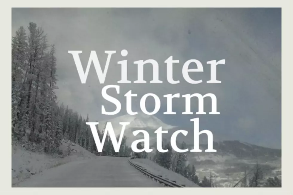
Winter Storm Watch
The National Weather Service in Great Falls has issued a Winter Storm Watch... which is in effect from late tonight through Friday evening.
A strong winter storm will affect portions of central and southwest Montana after midnight tonight and through the day on Friday.
The heaviest snowfall will occur during the day and evening hours on Thursday.
Total snow accumulations will range from 5 to 10 inches at lower elevations... to 10 to 20 inches in the mountains.
Winds and visibility: northerly winds gusting to near 20 mph combined with falling snow... will reduce visibilities below one half mile at times.
Other impacts: expect roadways to be snow covered and icy as colder air moves into the region freezing pavement surfaces.
Additionally... wind chill values will fall into the single digits below zero by Friday morning.
Locations affected include: White Sulphur Springs... Battle Ridge Pass... Bozeman... Bozeman Pass... Targhee Pass... West Yellowstone... Big Hole Pass... Chief Joseph Pass... Dillon...Monida Pass... Boulder... Boulder Hill... Elk Park Pass...Homestake pass... Whitehall... Great Falls... Kings Hill Pass...Townsend... Flesher Pass... Helena... Lincoln... MacDonald Pass...Rogers Pass... Ennis... Norris Hill... Raynolds Pass and Twin Bridges.
Source: Weather Underground
More From 100.7 KXLB